Local municipalities such as cities and counties can dictate zoning, land use, management plans, large scale vegetation removal, and many other aspects of building locally.
The Florida Department of Environmental Protection regulates the dredging and filling of wetlands for small scale projects. The Water Management District manages wetland dredge and fill for larger projects. The Florida Fish and Wildlife Conservation Commission manages state threatened species.
The Army Corps of Engineers regulates the dredging and filling of wetlands across the country. The United States Fish and Wildlife Service regulates federally endangered protected species. Many projects require both state and federal permits for wetland dredge and fill.
Our consultants will obtain state and federal permits to authorize wetland impacts for development.
Upland Exemption Verification (UEV)
Is your wetland transitioning into an upland? Our consultants will submit a request to the Florida Department of Environmental protection to verify an upland status.
Listed Species Surveys
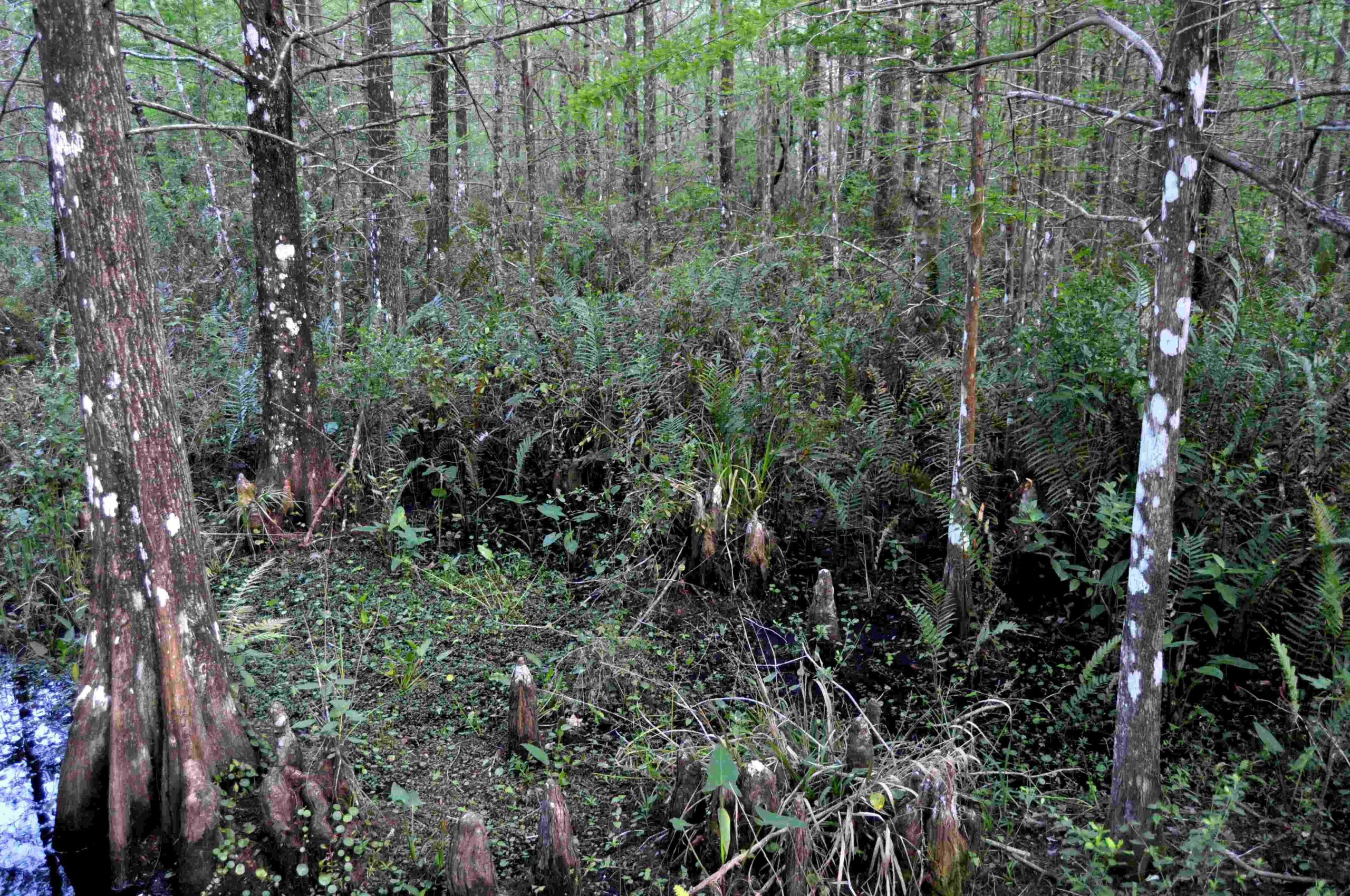
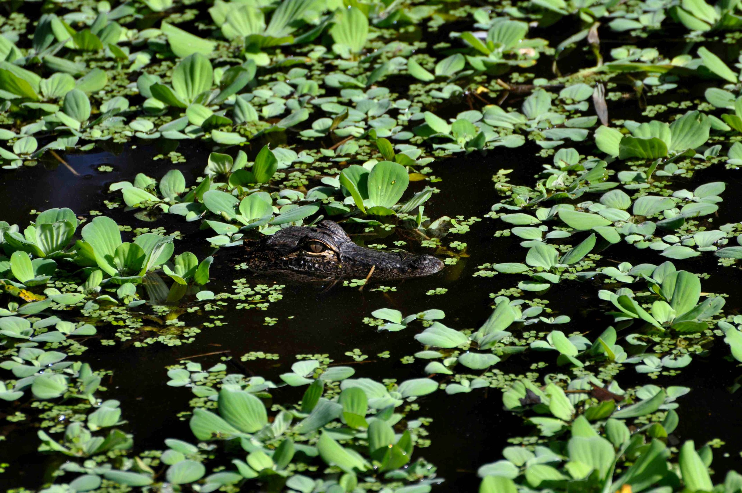
A requirement for most development. Our consultants will search for any listed species on the property and inform the client of any potential mitigation costs.
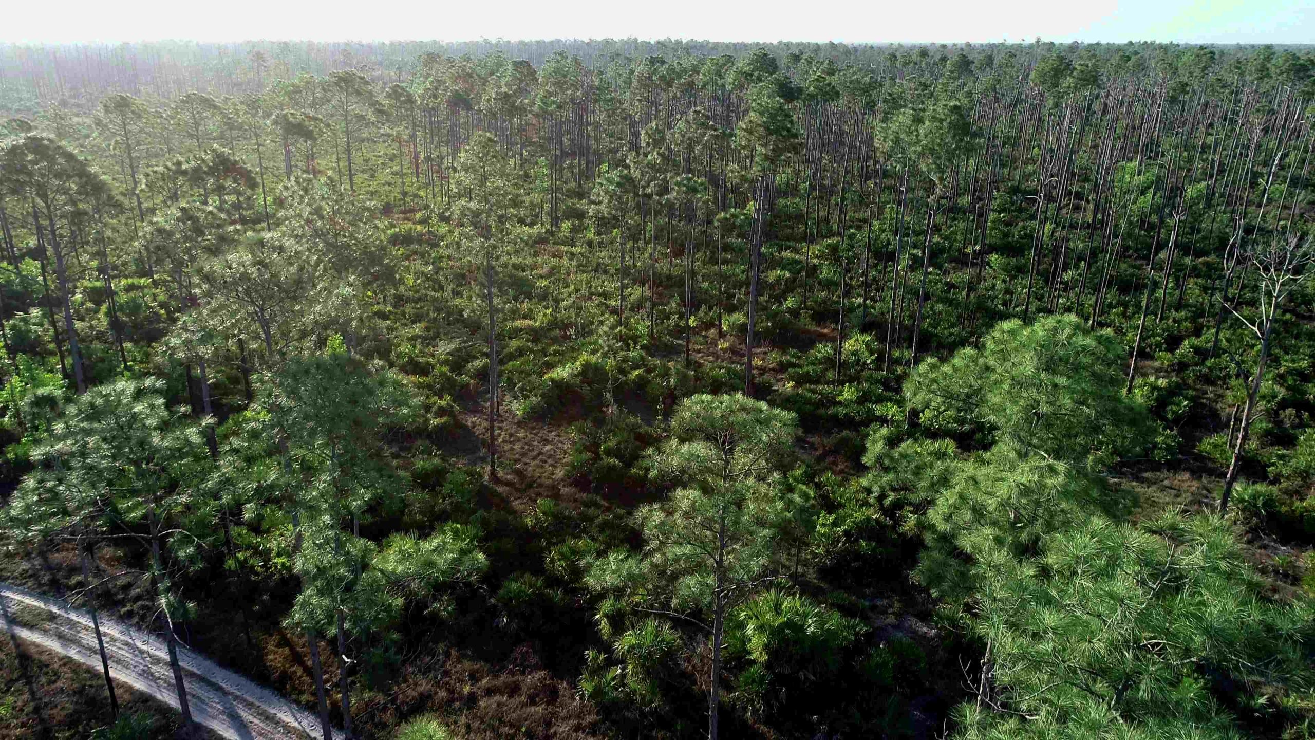
Aerial Photography
Aerial photography is becoming increasingly important in many industries. In the environmental field, drone photography is being used to enhance many existing services. Preserve management, real estate, FLUCCS mapping, and progress images are a few services we supply. With the ability to stitch large photographs and geo-reference them in GIS, drone photography is becoming essential.